
Reserve from the case
Shipping Estimate
USA
- USA
- CAN
- USA
- CAN
Ships within 48 hours · Estimated delivery Nov 1 - Nov 6
Reserve from the case
Ships within 48 hours · Estimated delivery Nov 1 - Nov 6
Streets indexed on face of map
with the following boundaries: North: to King / Snohomish County Line South: to Auburn and most of Kent East: most of Issaquah and Sammamish West: to Puget Sound
West: Flat River Reservoir in Coventry
The NOAA Nautical Chart 12226: Chesapeake Bay Wolf Trap to Pungoteague Creek is printed on heavy weight acid free paper with the latest Notice to Mariners applied
Canadian Hydrographic Service Nautical Chart CHS5374: Beacon Island à/to Qikirtaaluk Islands 11400 Streets indexed on face ofCHS Nautical Chart CHS5374: CHS Chart 5374: Beacon Island to Qikirtaaluk Islands With over 152,1000 miles of coastline, Canada has the longest coastline in the World! Canadian Hydrographic Service (CHS) charts provide commercial and recreational mariners with navigational information for Canada's vast waters. These charts make an excellent complement to any electronic system you might use on your boat or ship and provide a critical back up when


US$ 79.60


US$ 21.50

US$ 119.95


US$ 139.95


US$ 194.95
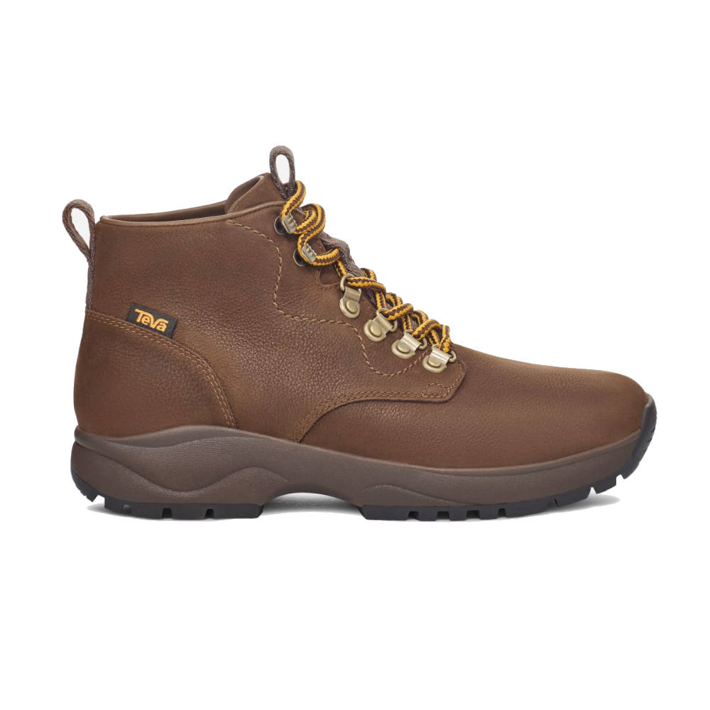
US$ 127.96


US$ 51.60


Pay in 4 interest-free payments of $9.74 Learn more