Reserve from the case
Shipping Estimate
USA
- USA
- CAN
- USA
- CAN
Ships within 48 hours · Estimated delivery Nov 11 - Nov 16
Reserve from the case
Ships within 48 hours · Estimated delivery Nov 11 - Nov 16
West Virginia and Pennsylvania
The NOAA Nautical Chart 18654: San Pablo Bay is printed on heavy weight acid free paper with the latest Notice to Mariners applied
Publication Date: 2015
Product Weight: 22 Lbs
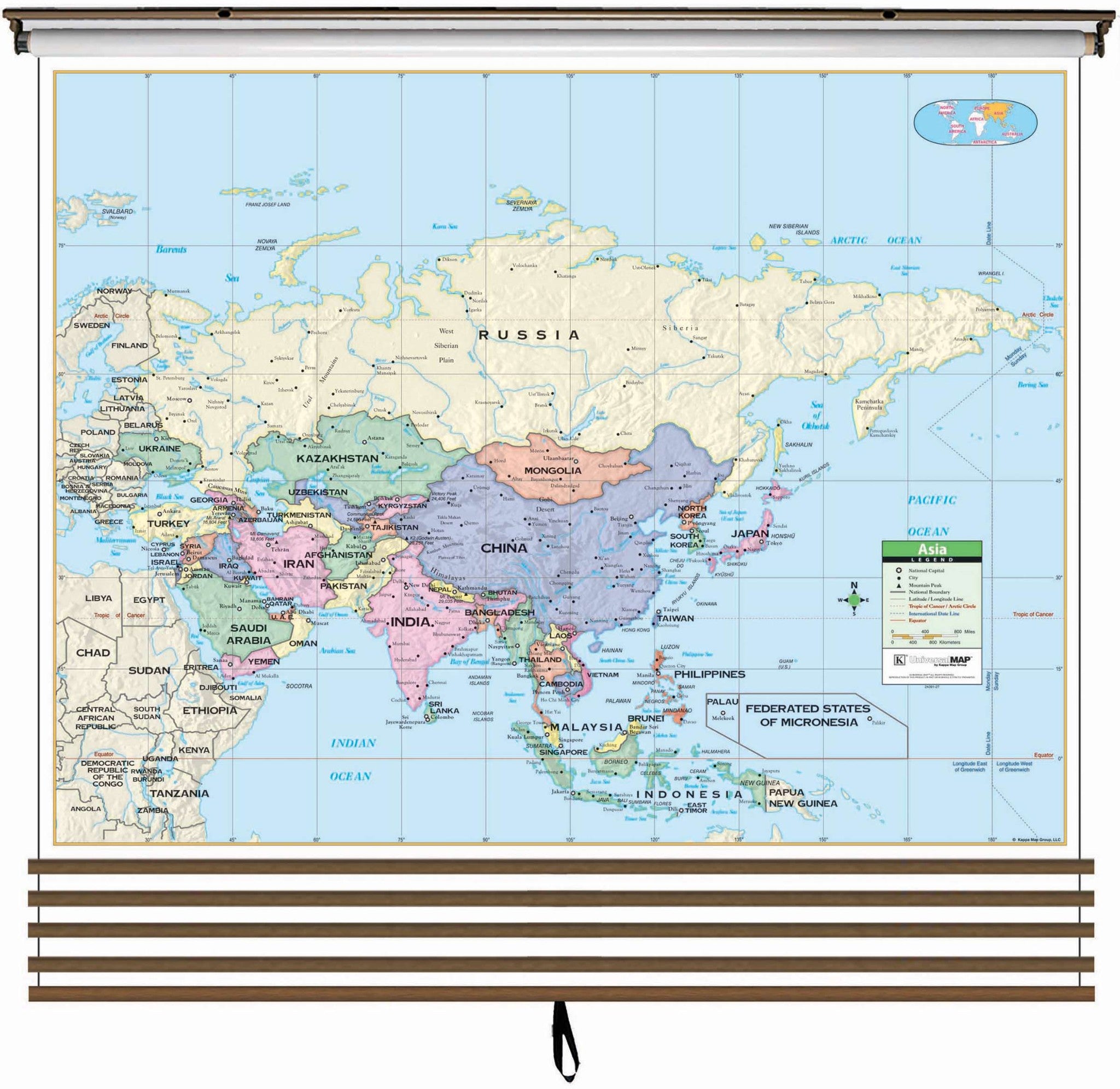
5 Map Primary Continent Classroom Wall Map Set on Roller 13309 West Virginia and PennsylvaniaThe 5 Map Continent Wall Map Set includes individual continent wall maps of North America, South America, Africa, Asia, and Europe. Continent edition wall maps clearly identify political county borders, with shaded relief highlighting the physical features of the land. Capitals, major cities, Waterways, and latitude and longitude lines are also included. A World inset map shows the location of each continent. Meets U. S. History curriculum


Pay in 4 interest-free payments of $72.50 Learn more


