Reserve from the case
Shipping Estimate
USA
- USA
- CAN
- USA
- CAN
Ships within 48 hours · Estimated delivery Oct 27 - Nov 1
Reserve from the case
Ships within 48 hours · Estimated delivery Oct 27 - Nov 1
Enjoy the artistic style and detailed geography displayed by the Columbus Bremen Duorama Illuminated Floor Globe 16 Inch
This map covers a portion of New York
The NOAA Nautical Chart 11408: Crystal River to Horseshoe Point
George to Mississippi Passes (Oil and Gas Leasing Areas) is printed on heavy weight acid free paper with the latest Notice to Mariners applied
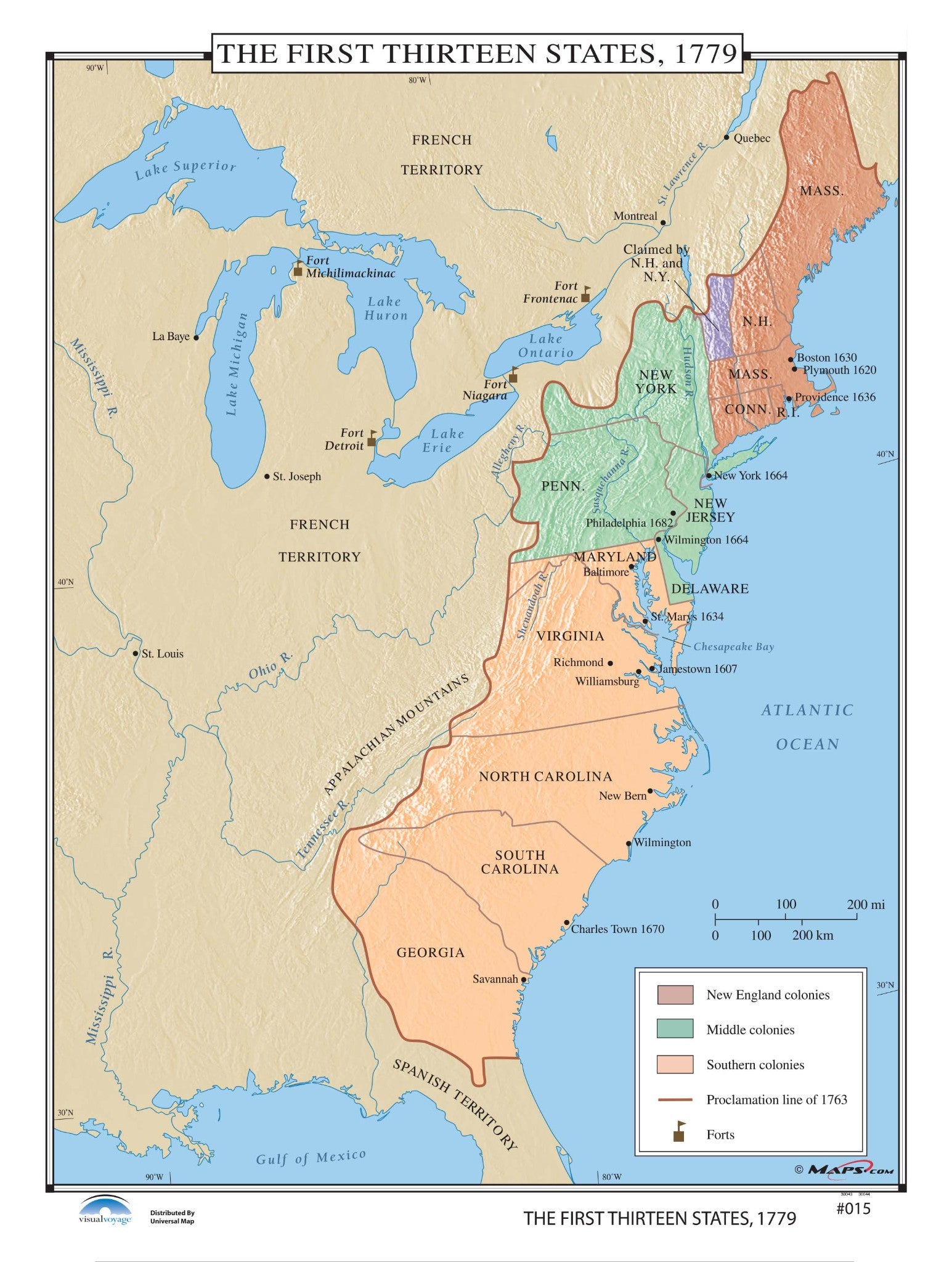
#015 The First Thirteen States, 1779 Finishing:Laminated Enjoy the artistic style andThe First Thirteen States, 1779 are shown in vivid graphic format by Maps. com. Including some shaded relief, the New England colonies, Middle colonies and Southern colonies are all shown in separate colors. Also shown are forts in 1779, as well as the Proclamation line of 1763.


Pay in 4 interest-free payments of $20.00 Learn more


