Reserve from the case
Shipping Estimate
USA
- USA
- CAN
- USA
- CAN
Ships within 48 hours · Estimated delivery Oct 25 - Oct 30
Reserve from the case
Ships within 48 hours · Estimated delivery Oct 25 - Oct 30
and tectonic plates on this interactive illuminated political map
The NOAA Nautical Chart 12331: Raritan Bay and Southern Part of Arthur Kill is printed on heavy weight acid free paper with the latest Notice to Mariners applied
Size: 24" x 21"
Charging Cradle with USB Cable
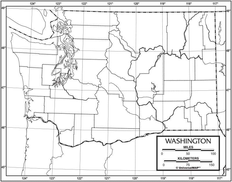
Washington Outline Map 50 Pack, Paper or Laminated Finishing:Laminated and tectonic plates on thisThese unlabeled, black and white maps are excellent for testing and map exploration. Measuring 8. 5" x 11", these maps are economically bundled in packs of 50. These 50 count bundles are geared towards educational activities which require multiple copies. This product is ideal for public, private, parochial, and home schools The outline map 50 pack is available with the following options: Laminated: Lamination provides durability and the ability to


Pay in 4 interest-free payments of $9.99 Learn more