Reserve from the case
Shipping Estimate
USA
- USA
- CAN
- USA
- CAN
Ships within 48 hours · Estimated delivery Oct 18 - Oct 23
Reserve from the case
Ships within 48 hours · Estimated delivery Oct 18 - Oct 23
The Vicksburg
The NOAA Nautical Chart 17320: Coronation Island to Lisianski Strait is printed on heavy weight acid free paper with the latest Notice to Mariners applied
and the beautiful design of the globe makes it a must-have item
Year: 2009
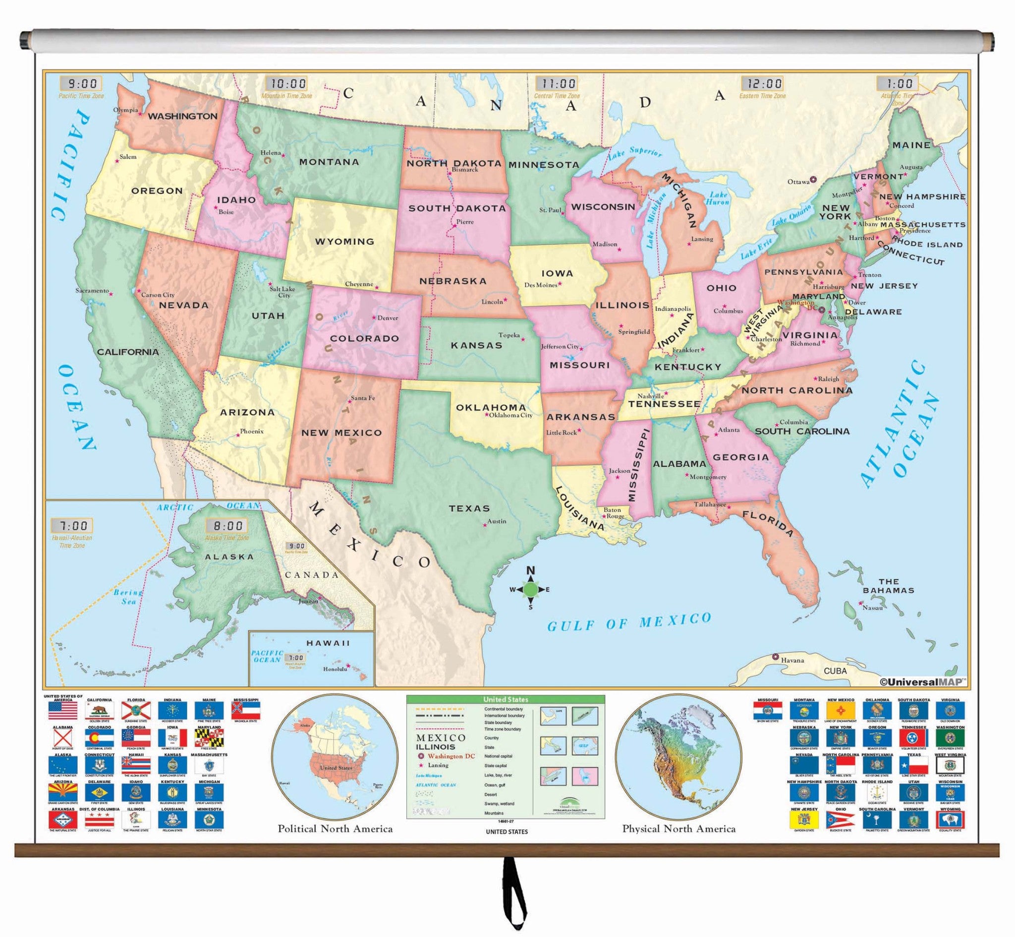
US Beginner Classroom Wall Map Finishing:Laminated The VicksburgBeginner classroom wall maps are ideal for pre K through 1st. grade. Features bright colors with easy to identify land masses and major bodies of water. The U. S. map shows state names and capitals. Measures 64" x 54". This product is ideal for public, private, parochial, and home schools. Map is available with the following options: Laminated: Laminated for protection on both sides. Use wet erase markers to write on wipe off. Railed: Black plastic

US$ 119.99

US$ 79.99


US$ 59.99


US$ 44.99


US$ 55.00

US$ 130.00

US$ 34.95

US$ 130.00

US$ 58.00

US$ 149.00


US$ 199.00

US$ 49.99

US$ 55.00


US$ 34.95

US$ 138.00


Pay in 4 interest-free payments of $39.99 Learn more