Reserve from the case
Shipping Estimate
USA
- USA
- CAN
- USA
- CAN
Ships within 48 hours · Estimated delivery Oct 21 - Oct 26
Reserve from the case
Ships within 48 hours · Estimated delivery Oct 21 - Oct 26
Printed in color
East: to the Cass County line
000 or 1 inch is approximately 750 miles
Physical/Political Illuminated Acrylic Ball
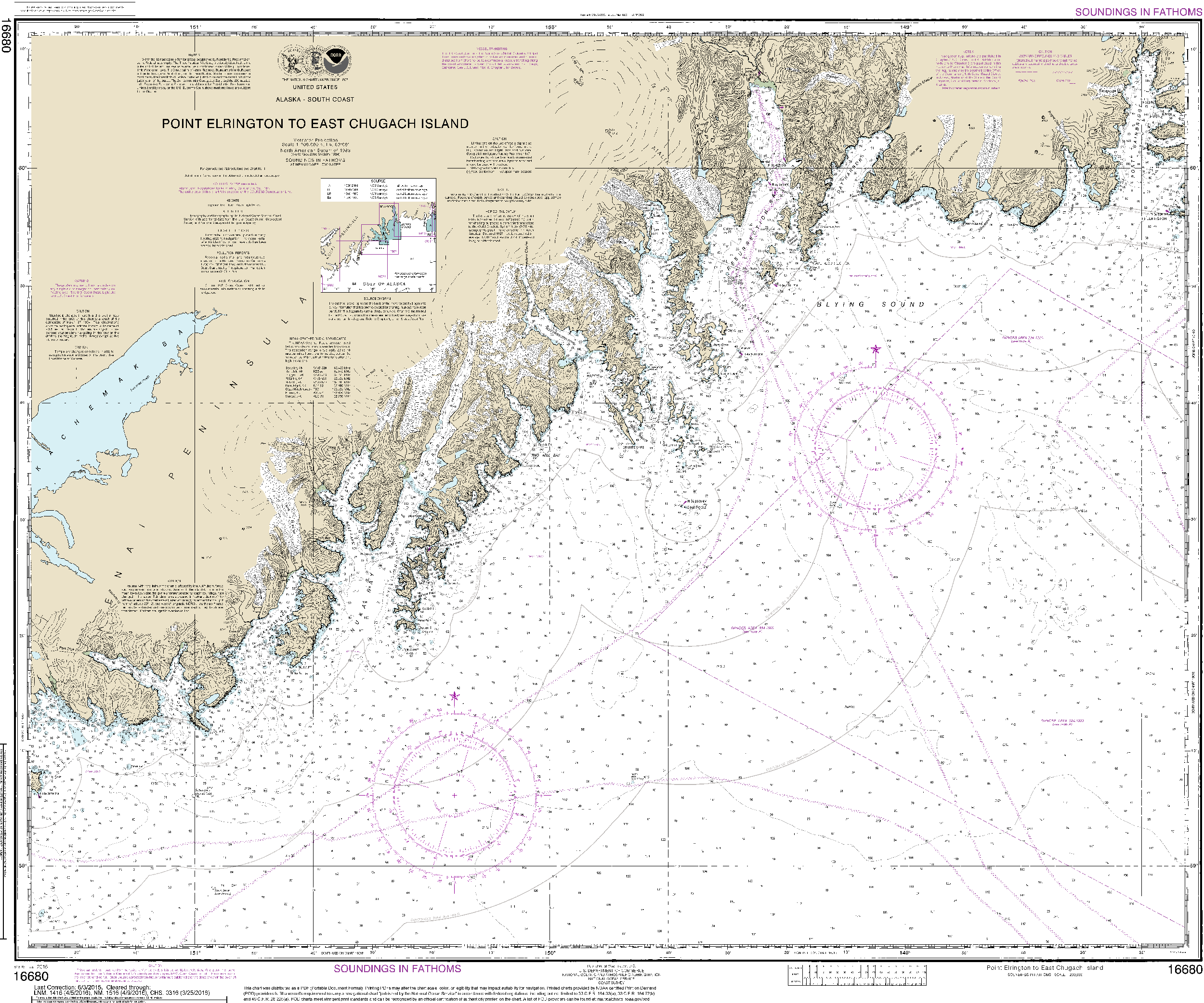
NOAA Nautical Chart 16680: Point Elrington to East Chugach Island 11344 Printed in colorPublication Date: 2015 Edition: 12 Scale: 1: 200,000 (1 inch=3. 16 miles) Map Size: 31. 06 x 37. 26 inches GeoMart is a authorized agent of NOAA and NGA print on demand nautical charts. Our charts are updated and printed after you place your order. This provides you with the most up to date NOAA approved nautical chart available. The NOAA Nautical Chart 16680: Point Elrington to East Chugach Island is printed on heavy weight acid free paper with the

US$ 197.50

US$ 212.50


US$ 162.50


US$ 315.00

US$ 59.97


US$ 400.00


Pay in 4 interest-free payments of $6.74 Learn more